
- +965 979 66 422
- Kuwait: Burj Al Tujjar, 2nd floor (office 27), Al Murqab, Kuwait
- info@Innova.com.kw
Innova enables clients to capture, sort, and interpret spatial and geographic data that’s critical to their businesses, then present it on custom or commonly used interactive maps. A well-built Geographic Information System (GIS) allows companies to uncover actionable insights from location data, map layers, and 3D modeling. Intellias engineers provide consulting and GIS software development services covering accurate positioning and spatial data management to recognize geographical patterns visible only through GIS mapping solutions.

We create custom business maps by integrating GIS software with robust databases and working with popular services using ESRI

We design, develop, and integrate large spatial databases in all popular formats for further data conversion, geocoding, and geographic editing
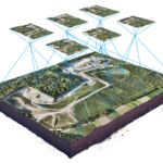
We simplify the way our clients capture and convert geographic data from physical maps, survey coordinates, and integrations with GNSS/GPS satellites, field computers, LiDARs, UAVs, and remote sensors

We cover automated and manual geoprocessing using geocoding technologies to transform unstructured data sets of addresses, landmarks, and points of interest into geo-coordinates for maps
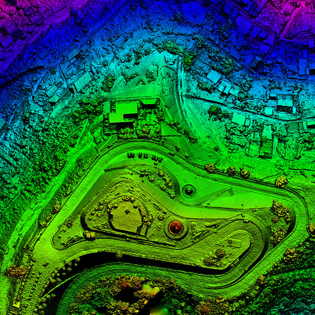
Our GIS modeling and positioning experts create detailed and interactive 3D models of landscapes that can be rendered in a map interface with limitless layers, symbols, and styles

Turn to our experts to perform comprehensive, multi-stage testing and auditing of your GIS infrastructure.

Build geospatial software solutions to capture, sort out, and structure massive spatial data sets, recognizing geographical patterns that can improve performance and usage of critical business assets

Our experts apply hands-on experience in geospatial data services and advanced GIS software solutions to build digital twins, cloud platforms, and customer-centric solutions for a GIS solutions company